
In eastern Namibia lies Aminuis—a place with a fascinating history and a surrounding area that has, until now, only been partially mapped.
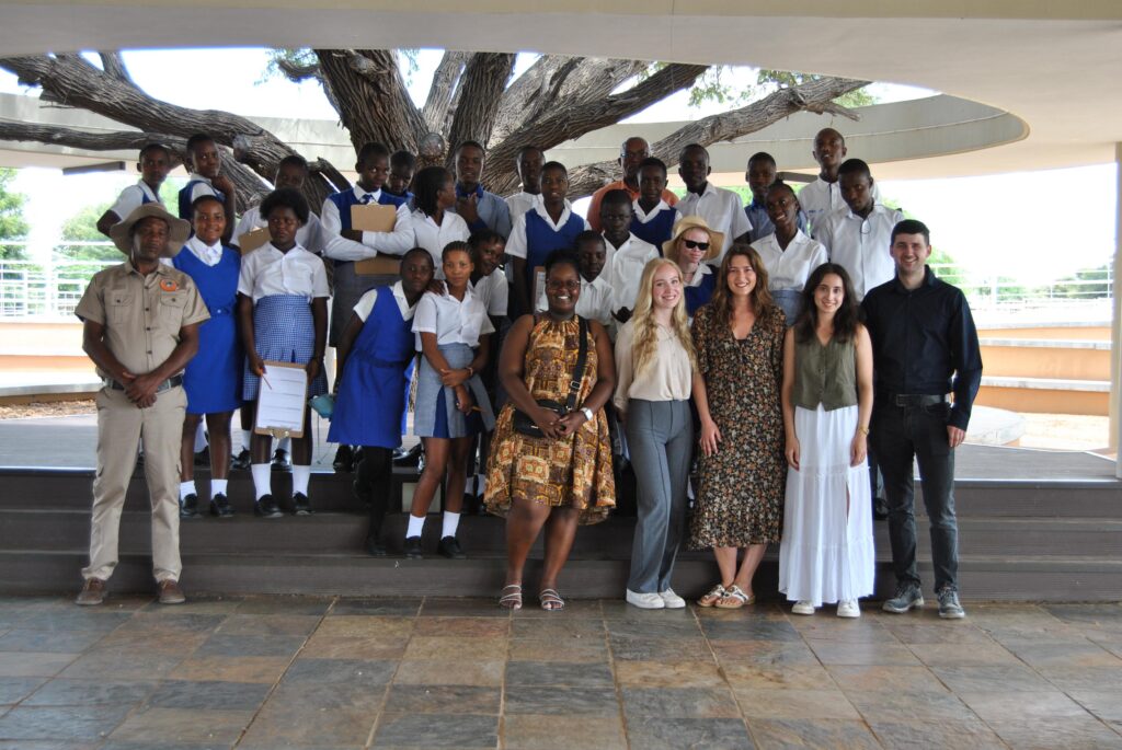
In early March 2026, an innovative teaching and learning project was launched here. Geography teacher education students from the University of Trier are working together with learners from Rietquelle Secondary School in Namibia to map the “blank spots” on the map.
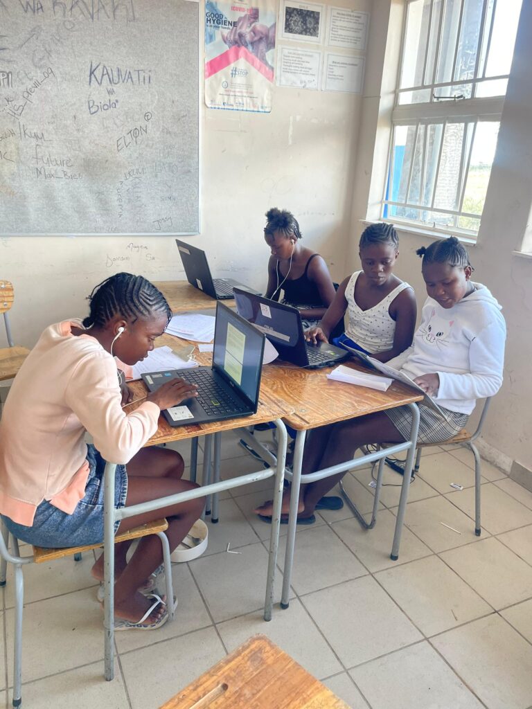
A key component of the project is the establishment of a computer lab at Rietquelle Secondary School in Aminuis. There, the University of Trier students, together with Namibian teachers, guide the learners in using digital tools independently. Using OpenStreetMap, they are creating a new digital map of Aminuis and its surrounding area. In the process, the Trier students further develop their teaching skills while introducing the learners to practical methods of digital cartography. In addition, the learners are trained to conduct interviews independently with local community members and stakeholders. This allows them to collect valuable information about Aminuis that has never before been systematically documented.
Based on this work, the project will produce not only an up-to-date digital map of Aminuis but also a travel guide that presents the region from a local perspective.
The project is a collaboration between the Department of Geography and Geography Education at the University of Trier, the Directorate of Education of the Omaheke Region, the Aminuis Village Council, and Rietquelle Secondary School. It is funded by the Jutta Vogel Foundation, the German Federation for Arts Education and Cultural Learning (BKJ), Labdoo.org, and the University of Trier.
The project is led by Barbara Scharfbillig. On-site implementation is coordinated by Suni e.V. members Tjinouhona Tjipura, Dominik Lang, and Annika Hoffmann.
